Flying a helicopter demands constant attention and precision. Pilots must hover in tight spaces, navigate unpredictable weather, and land in remote or crowded locations. In the past, guiding these aircraft safely relied heavily on the pilot’s hand-eye coordination, quick mental calculations, and a dashboard packed with mechanical dials. Modern aviation, however, has experienced a transformative leap: digital flight decks and sophisticated avionics now make complex navigation tasks both safer and more efficient.
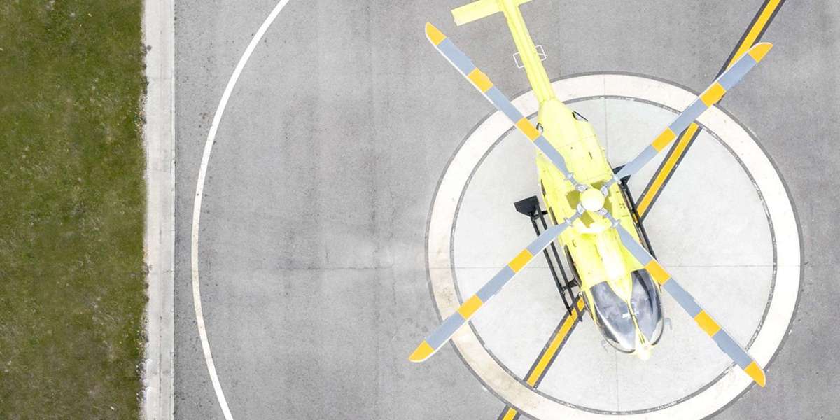
At the heart of this evolution is the development of compact, high-powered avionics systems. Modern avionics serve as the “brain” of the helicopter, processing massive streams of flight data—from weather information to aircraft attitude—in real time. Instead of relying on cumbersome, analog instruments, pilots now benefit from crystal-clear digital displays that vastly improve situational awareness. This technology has made flying rotary-wing aircraft safer than ever, especially when precision is needed most: landing. Many newcomers wonder what is a helipad; put simply, it is a specially constructed or designated landing area designed to receive helicopters in all environments. Locating and safely approaching these often small and uniquely situated zones is especially hazardous in poor weather or low-visibility conditions. Engineers have responded to these challenges by developing cutting-edge avionics suites that guide pilots precisely to their landing targets, regardless of visibility.
Historical Context: Navigating by Sight and Sound
Decades ago, helicopter navigation was almost entirely visual. Flying at low altitudes meant that pilots followed prominent ground features—rivers, highways, landmarks—and checked their heading with a compass or basic radio beacons. This era of “stick and rudder” flying was fraught with peril. Any unexpected fog, harsh rain, or onset of darkness could leave crews disoriented. Radio navigation systems such as VOR (VHF Omnidirectional Range) and NDB (Non-Directional Beacon) offered limited assistance but depended on ground-based transmitters and line-of-sight access.
As missions grew in complexity and the number of helicopters increased in civilian, medical, and military roles, the limitations of primitive navigation became apparent. Accidents due to spatial disorientation or controlled flight into terrain drove demand for more sophisticated solutions. The groundwork was laid for a technological revolution.
The Glass Cockpit Revolution
Today, almost every new helicopter is delivered with a glass cockpit. In contrast to earlier generations—where panels overflowed with dozens of specialized dials and analog gauges—glass cockpits offer large, customizable liquid-crystal displays (LCDs) that can be configured on the fly. Pilots can bring up flight maps, weather radars, terrain overlays, engine performance, and navigation data—all on the same screen.
This consolidation streamlines cockpit management, reduces distractions, and virtually eliminates information overload. Should a pilot need detailed weather forecasts or a quick systems check, a few button presses replace what once took careful scanning of multiple instruments. For complex missions, this rapid access is invaluable, allowing crews to focus on strategic decision-making rather than laborious cross-checking.
Flight Management Systems and GPS Precision
One of the most significant advancements in helicopter avionics is the fully integrated Flight Management System (FMS). Essentially an onboard supercomputer, the FMS eases pilot workload by automating many tasks. Pilots input their flight plans, and the FMS computes efficient flight paths, fuel requirements, and time en route, all while actively communicating with the GPS for continual updates.
The precision possible with GPS cannot be understated. Before this technology, pilots often deviated off-course or miscalculated their location in featureless terrain or over water. Now, GPS enables point-to-point navigation nearly anywhere in the world, even in darkness or dense fog. The system updates positioning many times per second, which is crucial for helicopters that need to weave between buildings, land on offshore oil rigs, or find small clearings deep in the mountains.
Integration of Synthetic Vision and Terrain Awareness
Recent leaps in avionics have introduced synthetic vision systems (SVS) and advanced terrain awareness. Helicopter Terrain Awareness and Warning Systems (HTAWS) are specifically designed to address the fact that rotary-wing flights often occur at low altitudes, close to natural and man-made hazards. SVS can build a three-dimensional view of the outside world—even in zero visibility—by pulling from digital terrain databases and real-time GPS data. This “virtual window” overlays mountains, towers, trees, and obstacles on the digital screen in front of the pilot, reducing the risk of accidental collision.
HTAWS further enhances safety by continuously analyzing flight paths and issuing warnings if the helicopter comes dangerously close to terrain or obstacles. The system’s high-pitched audio and vivid visual alerts allow crews to react instantly, buying precious seconds in high-stress situations like mountain rescues or urban EMS landings.
Night Vision Imaging Systems (NVIS) and Environmental Sensors
Working after dark or in poor weather intensifies navigational hazards for helicopters, particularly during search-and-rescue missions or evacuations in unlit areas. Night Vision Imaging Systems (NVIS) dramatically improve low-light flight by amplifying tiny amounts of ambient light from stars or the moon, offering a green-hued but clear landscape where nothing was previously visible. Modern avionics support NVIS by filtering cockpit screens to avoid blinding pilots wearing night vision goggles and presenting critical data without interfering. Environmental sensors, including infrared cameras and real-time weather detection, further expand what crews can safely accomplish.
Real-Time Communications and Data Sharing
Seamless communication is an underrated but vital role of avionics. Modern helicopters are equipped with secure radios, satellite communication systems, and data links. These technologies allow pilots to maintain constant contact with air traffic control, ground dispatch, and even remote data centers. Live streaming of position, fuel status, weather, and mission updates ensures everyone stays informed and responsive, whether the helicopter is part of a disaster relief effort or flying offshore crew changes.
For search-and-rescue operations, the ability to send live coordinates and status reports enables rapid deployment of resources and safer coordination between multiple aircraft and ground teams. Advancements in Automatic Dependent Surveillance–Broadcast (ADS–B) technology further enhance situational awareness, giving pilots real-time data on surrounding traffic—even in airspace with minimal radar coverage.
Health Monitoring and Predictive Maintenance
The latest avionics suites are not limited to navigation. They also monitor the helicopter’s health and maintenance status, tracking everything from engine temperatures to vibration signatures on critical components. These health and usage monitoring systems (HUMS) collect gigabytes of diagnostic data on every flight, automatically flagging anomalies or wear patterns that might indicate coming mechanical problems.
By moving from scheduled part replacements to condition-based maintenance, operators can extend aircraft life, reduce unscheduled downtime, and avoid catastrophic failures. This comprehensive approach improves both operational efficiency and overall flight safety.
Human-Machine Interface and Adaptive Automation
As avionics grow smarter, there is also an increasing focus on refining the human-machine interface (HMI). Modern flight control systems prioritize intuitive layouts and touch-screen capabilities. Adaptive automation means computers can now share the workload dynamically, stepping in or stepping back depending on pilot workload and mission phase. This balance reduces human fatigue and guards against the rare but dangerous phenomenon of “automation complacency,” where crews become too reliant on autopilot and neglect critical cross-checks.
The Future of Helicopter Navigation Systems
Looking forward, the landscape promises even greater levels of intelligence and automation. The next generation of avionics will leverage artificial intelligence and machine learning to optimize routing, monitor weather systems, and even provide early warning of mechanical anomalies down to the individual bolt or wire.
Autonomous helicopters are already under development, with prototypes capable of flying predetermined routes, avoiding obstacles, and landing themselves even in challenging environments. These technologies stand to revolutionize both remote cargo delivery and emergency rescue missions in areas too dangerous for human pilots.
Advanced augmented reality (AR) displays could further enhance pilot awareness, overlaying key navigation data directly onto helmet visors or windshields. Coupled with increasingly advanced communications satellites and broadband links, aircrews will soon have global, uninterrupted access to critical data, transforming the way helicopters are flown, managed, and maintained.
Conclusion
Avionics have become the beating heart of modern helicopter operations. What started as simple navigational aids has evolved into a sophisticated ecosystem of interlinked sensors, computers, and displays that collectively make flight safer, more precise, and vastly more capable. Whether it’s enabling daring rescues in unforgiving terrain, streamlining offshore logistics, or simply making each landing safer, advances in rotary-wing avionics have fundamentally transformed what is possible in the world of vertical flight. As technology advances, helicopters will not only become safer and easier to navigate but will also unlock new missions and capabilities, carrying aviation boldly into the future.